GPS satellites to street corner
Vertical GPS explainer animation: a gold satellite pulls out to the constellation, signals fix a dot, then a street corner. Copy it into Claude to edit.
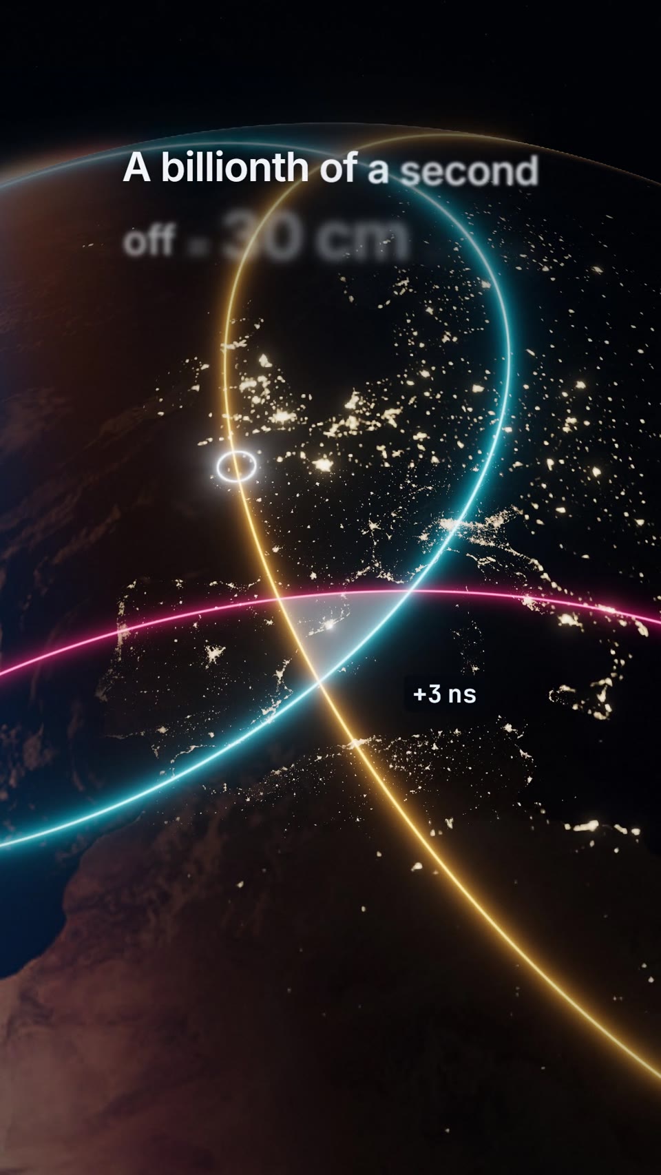
The camera starts a few metres from a gold-foil satellite, then pulls back to reveal the 24-satellite constellation. Three satellites flash and send signal spheres that land as rings and close on a glowing dot. A fourth signal fixes the clock, then the camera dives to street level where three lines of light cross under a pin.
Change the five text lines, the brand stencilled on the satellite, the phone's latitude and longitude, and the colours of the three signals, the dot and the pin bead. The tall 1080x1920 frame suits TikTok, Reels and Shorts, and works as a quick explainer clip for navigation, logistics or mapping products.
Use it for
- Navigation app launch teaser
- Explaining GPS to students
- Logistics tracking social clip
Specs
- Length: 15 seconds
- Format: vertical 9:16 (1080x1920), 30 fps
- Built with: Three.js in HyperFrames
- Category: Explainers
What happens, beat by beat
- 0 to 1.9 s, hook. The satellite fills the frame against black space, the Earth's limb low in frame. The camera orbits 22 degrees and pushes from 17 m to 13 m; two faint pulse shells…
- 1.9 to 5.5 s, pull-out. The camera backs straight out along the satellite's radial line so the planet shrinks in place, then swings round the centred Earth. Six orbit rings draw on in sequence (2.55 to…
- 5.05 s, emission. The three chosen satellites tint to their signal colours, flash one white frame and bloom. From 5.55 s three thin spheres grow outward, slowing as they reach the ground at 6.35 s. Line…
- 6.35 to 8.75 s, rings. Each sphere meets the ground as a ring that sweeps across the continent and locks at its range (about 7.9, 8.4, 8.75 s), each lock a flash and a pulse from…
- 8.95 to 10.9 s, the fix. A fourth, white signal from nearly overhead lands at 10.25 s; all rings slide expo-out into one point by 10.6 s with a flash, and the readout counts to "0…
- 11 to 15 s, the dive. Clouds, satellites and city lights fade, the street map grows out from the pin, buildings rise, and the camera ends about 1.35 km above the street, still drifting. Line 5…
What you can change
- [the five lines], [brand stencil], [pin latitude and longitude], [three signal colours, e.g. cyan #46D6FF, amber #FFB443, rose #FF5C8D], [accent for the dot, fourth signal…
How the prompt opens
Make a 15-second, 9:16 (1080x1920, 30 fps) explainer that is one unbroken camera move, built entirely in Three.js. It opens a few metres from a gold-foil navigation satellite above a photoreal night-side Earth, pulls out to the whole 24-satellite constellation, then three satellites flash and send signal spheres that land as rings and close on a glowing dot in [your city]. A fourth signal cancels the clock error, a pin drops onto the dot, and the camera dives to street level, where the three signals become three lines of light crossing exactly under the pin. Swap in your own lines, place, colours and the brand stencilled on the satellite (an invented one, e.g. a positioning brand called [TRUEPOINT]).
The full prompt runs 1,102 words. Copy it free (2 a day) from this page.
Copy the prompt into Claude, or pull the scene into Claude Code and render the MP4 on your machine: how it works.